Canyons and caves · Colorado Springs
North Cheyenne Cañon and Helen Hunt Falls
A granite canyon on the city's edge with a roadside waterfall, a steeper cascade above it and an old gold-camp railway grade cut into the slopes overhead.
On the south-west edge of Colorado Springs, a road leaves the last houses behind and slips into a narrow canyon of pink granite. Within a few minutes the city noise has gone and North Cheyenne Creek is tumbling alongside the car under Douglas fir and ponderosa pine. This is North Cheyenne Cañon Park, one of the oldest parks the city owns and one of the easiest ways to get from pavement to proper mountain scenery.
The canyon has been a city park since the late nineteenth century, and the old Spanish spelling, with its tilde, has stuck to the name ever since. People came here by carriage long before cars, to picnic by the creek and look at the waterfalls. They still do, in larger numbers, and the main sights sit close enough to the road that a short visit works as well as a long hike.
A tilde, a creek and a city park
North Cheyenne Creek drains the high ground east of Pikes Peak and cuts down through Pikes Peak granite on its way to the plains. The rock here is the same coarse, pinkish granite you see on the upper slopes of the peak, and it breaks into rounded domes, slabs and boulder piles that climbers have used for generations.
At the mouth of the canyon, the city's visitor and nature centre sits in a stone-and-timber building beside the creek. It is the place for trail maps, current conditions and the park's natural history, and it runs nature programmes for families. Opening days and hours vary through the year, so check before counting on it.
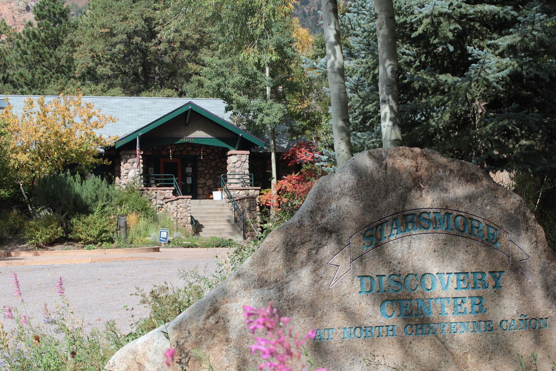
From the visitor centre, the Columbine Trail follows the creek up the canyon, crossing and recrossing the water. It is the best way to see the lower canyon on foot rather than through a windscreen, and it links the visitor centre with the area around the falls further up.
Helen Hunt Falls by the roadside
Further up the paved canyon road, North Cheyenne Creek drops over a granite ledge right beside a parking area. That is Helen Hunt Falls, named for the writer Helen Hunt Jackson, who lived in Colorado Springs in the late 1800s and loved this canyon. The falls are modest in height, and in May and June, when snowmelt fills the creek, they roar.
A small visitor building stands near the falls and opens in the warmer months. A footbridge crosses the creek just above the drop, and from there a rough stone path climbs up the side of the canyon.
About 6,500 feetAnother stop on the mapWilliams Canyon and the cave countrySilver Cascade and slippery granite
The path above Helen Hunt Falls is short, steep and uneven, and it leads to Silver Cascade Falls, where the water slides down a long, smooth apron of granite rather than dropping straight over. It is a lovely spot, and it is also one of the most dangerous places in the park. The polished rock is slick when wet, the slope is longer and steeper than it looks, and people have been badly hurt and killed after stepping off the trail onto it.
Stay behind the railings and on the marked path, keep children close, and treat any wet or icy granite as off limits. In winter and early spring the path can hold ice long after the road below is clear.
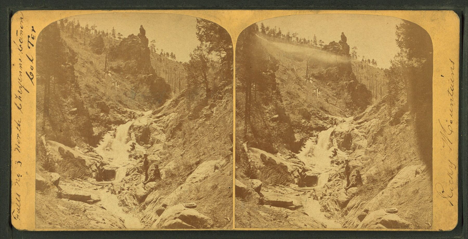
Old stereoviews show that the canyon's falls have been drawing visitors since the territorial days, when photographers hauled heavy cameras up the creek to capture them. Many of the rocks and pools in those pictures are still recognisable today.
The railway grade above the canyon
High on the canyon walls runs the Gold Camp Road, a dirt road built on the bed of an old railway that once carried passengers and ore between Colorado Springs and the Cripple Creek gold district. The line was famous for its views, and the road keeps them: it curves around ridges and through rock cuts and short tunnels, with the city spread out below.
Parts of the Gold Camp Road are open to cars and parts are closed to traffic and used by hikers and cyclists. Seasonal closures and repairs come and go, so check the current status before relying on it as a through route. From trailheads along it, paths climb to viewpoints and further waterfalls, including the popular hike to St. Mary's Falls, which is longer and more strenuous than anything down in the main canyon.
For a shorter climb with a big reward, the Mount Cutler Trail starts from the canyon road and gains a few hundred feet to a rocky top with views over the city and into the canyon. The drop-offs near the top are real, so keep to the trail.
Climbers, cold mornings and a full creek
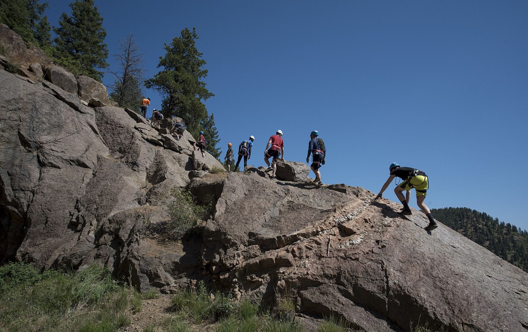
Rock climbers have worked the canyon's granite slabs and walls for decades, and on a fine day you will see ropes and helmets on the rocks above the road. Climbing in city parks follows city rules, so anyone planning to climb should check them first. For everyone else, watching from the road is free.
The canyon is cooler than the city below, and its depths can stay in shade until late morning. That makes it a good escape on hot summer days and a chilly one in winter. In spring, snowmelt fills the creek and the falls are at their best. Summer afternoon thunderstorms can turn the creek brown and fast within an hour, and it is no place to linger beside the water when the sky goes dark over the mountains.
Fitting the canyon into a day
A quick visit, driving up to Helen Hunt Falls, walking to the viewpoint above and stopping at the visitor centre, takes a couple of hours. Add the Columbine Trail or Mount Cutler for a half day, or a hike from the Gold Camp Road for most of a day. There is no fee to enter the park; parking near the falls fills on summer weekends, so arrive early or come on a weekday.
The canyon pairs well with a day on the other side of town. Start early at Red Rock Canyon or among the springs in Manitou, then drive across to the cañon for the afternoon shade. If the weather looks unsettled, read up on afternoon storms before heading for the higher trails off the Gold Camp Road.
The pictures on this page were shared under open licences; see who took them.