The climb · Pikes Peak
Driving the Pikes Peak Highway
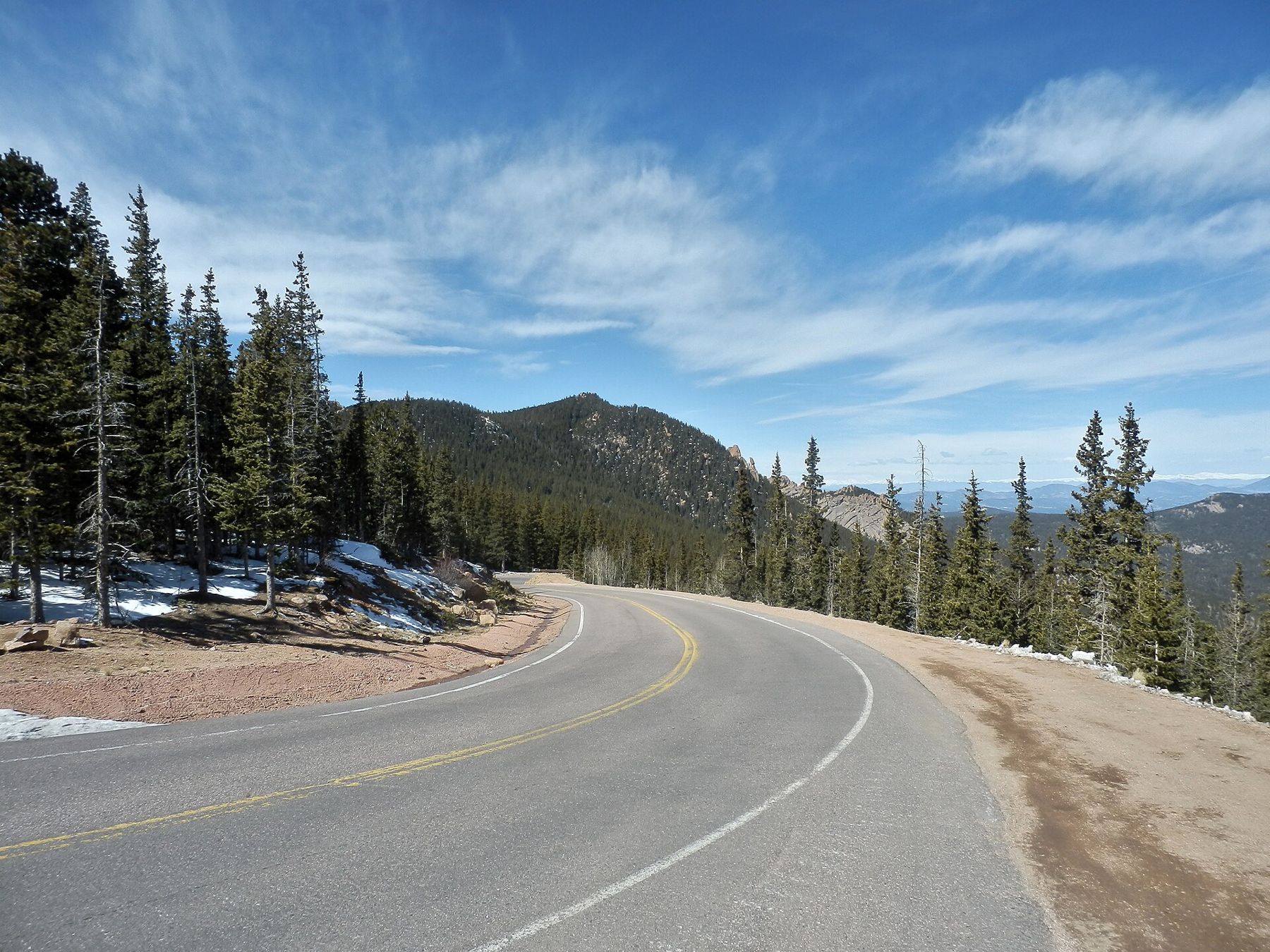
From the gate near Cascade, the Pikes Peak Highway winds about 19 miles through forest, past reservoirs and up across bare tundra to the summit of the mountain.
The Pikes Peak Highway is the drive that takes you to the top of a fourteener without hiking a step. It starts at a gate near the small community of Cascade, just west of Manitou Springs off US 24, and winds about 19 miles to the summit at 14,115 feet. On the way it passes through pine and spruce forest, along mountain reservoirs, and out onto the open, rocky world above the trees.
It is a toll road run by the city of Colorado Springs, and it is paved all the way to the top. It is also a serious mountain drive, with steep grades, sharp curves and long drops, and it asks more of you and your car on the way down than on the way up.
From the gate to Crystal Reservoir
The lower part of the road climbs through forest, with turnouts and picnic areas along the way. Within the first several miles you reach Crystal Reservoir, a calm stretch of water with views up toward the peak. It is a good first stop to stretch your legs and get used to the altitude before the road climbs higher.
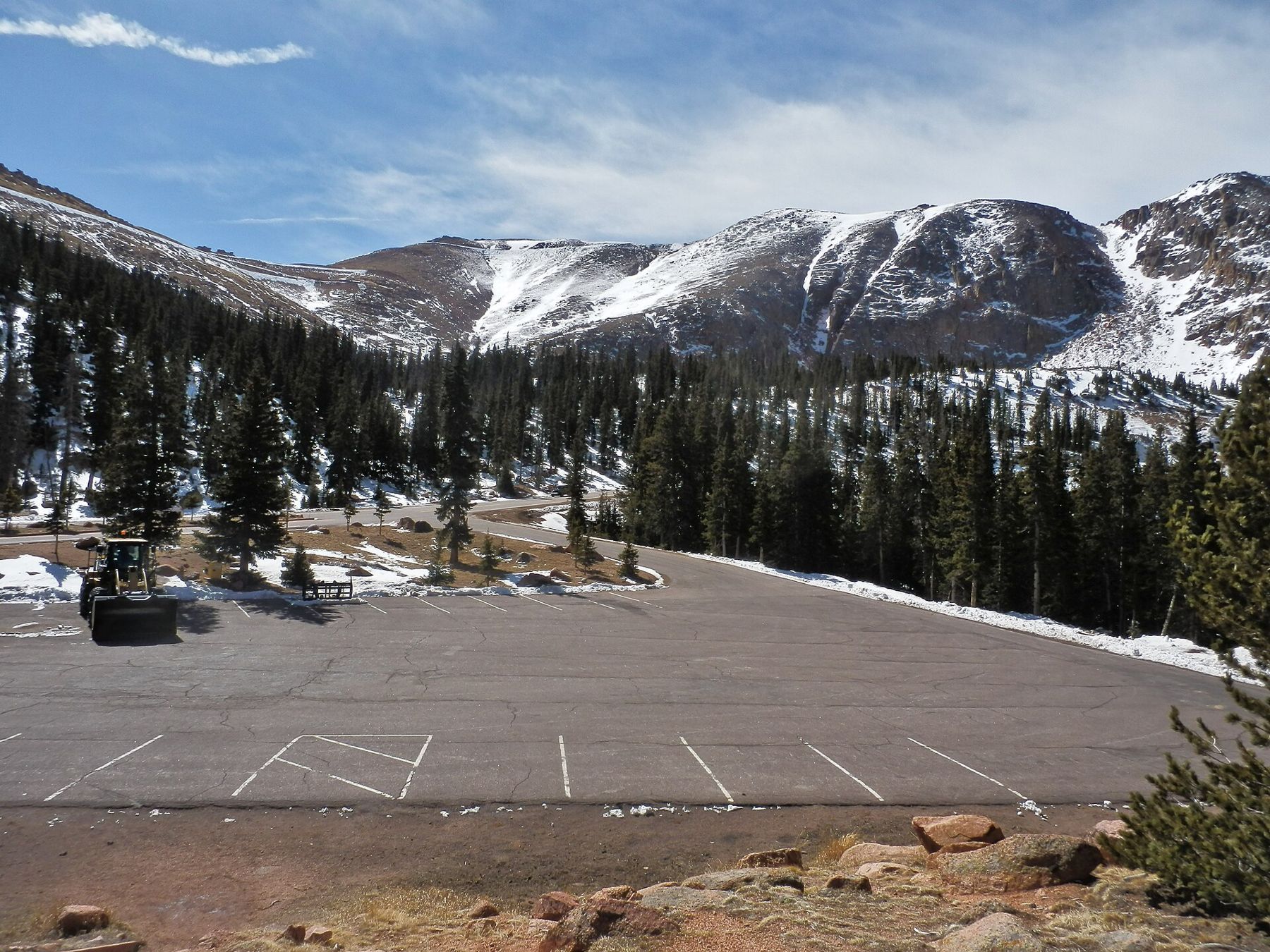
Beyond the reservoir the highway keeps climbing through dense forest, past more pullouts and picnic grounds. The air gets cooler and thinner with every mile, and the trees start to thin and twist.
This lower half is the place to slow down and enjoy the drive. Aspen groves turn gold in autumn, and the pullouts give you room to stop without holding up traffic. Stopping a few times on the way up also gives everyone in the car a chance to adjust to the altitude in stages rather than all at once.
Glen Cove and the edge of the trees
Past the halfway point, near tree line, Glen Cove is one of the main stops on the road. Above it, the road leaves the forest behind and starts a long series of switchbacks across open slopes. This is the most dramatic stretch to drive: bare granite, wide views and very little between the pavement and the drop below.
Many of the hairpins on this stretch have no guardrail, and the views pull your eyes away from the road. Let passengers do the sightseeing and save your own looking for the pullouts. Take the curves slowly, stay in your lane and use pullouts to let faster drivers pass. Cyclists sometimes ride the road, and wildlife such as marmots and bighorn sheep may be on or near the pavement.
6,700 to 14,115 feetAnother stop on the mapBarr Trail to Barr Camp and beyondDevil's Playground and the summit
High on the mountain, Devil's Playground is a broad, rocky area named for the way lightning seems to jump between the boulders during storms. It is a striking spot with wide views, and on some days it is also where the road's upper section may be closed if weather or conditions are poor.
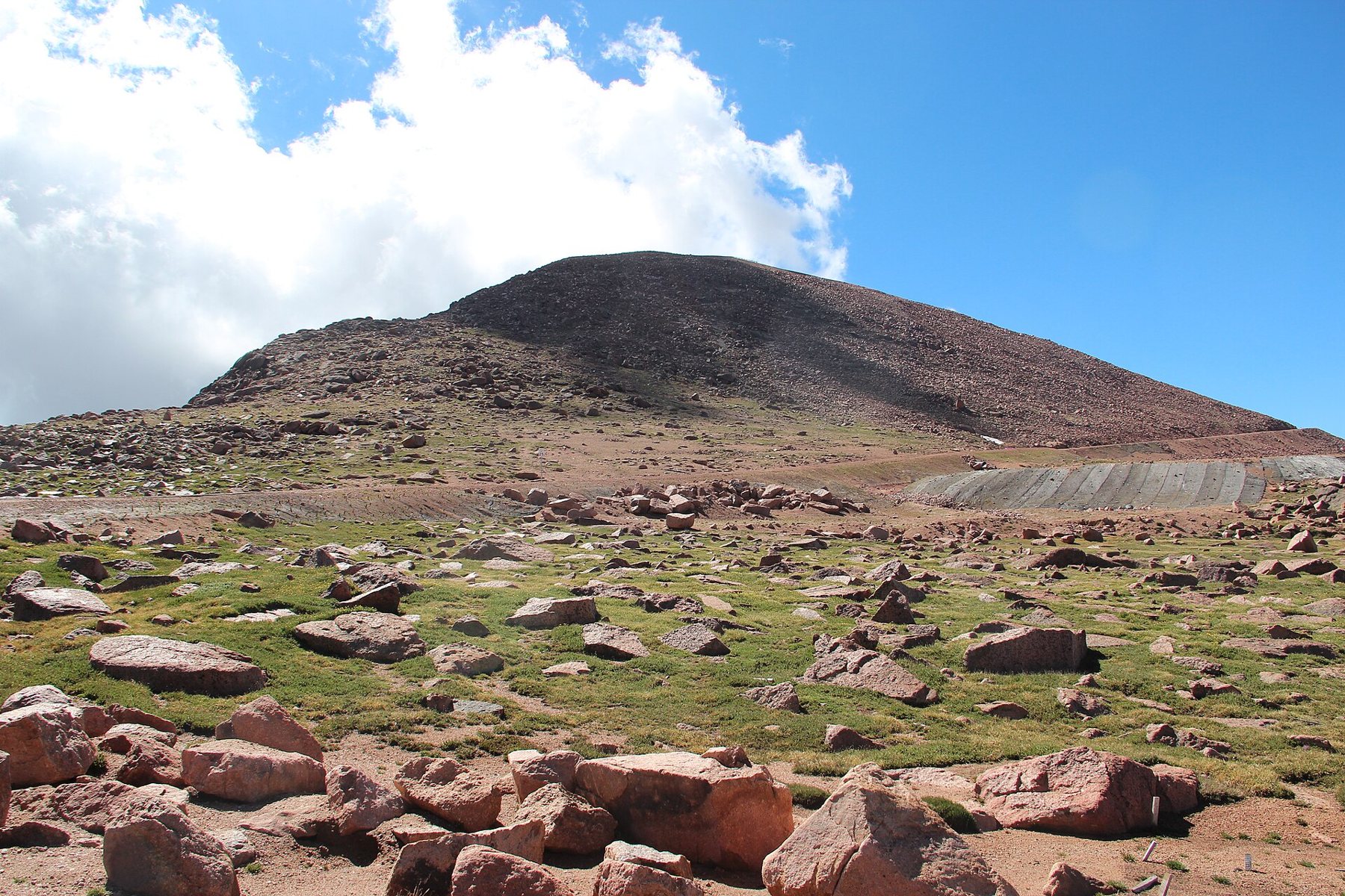
The final miles climb to the summit itself, where the summit visitor center opened in 2021. Up here you can walk to the viewpoints, see the cog railway arrive, and take in the view that once moved Katharine Lee Bates to write the poem that became "America the Beautiful."
Plan on spending less time at the top than you might expect. The altitude affects drivers and passengers alike, and the fact that you arrived by car does not change how thin the air is.
Brakes, gears and the way down
The descent is the hard part. Long, steep grades heat brakes quickly if you ride them, and overheated brakes can fade or fail. The highway has had a brake check point on the way down where staff may check brake temperatures and ask drivers to pull over and let them cool.
- Shift into a low gear before you start down and let the engine do most of the braking.
- Brake firmly and briefly rather than resting your foot on the pedal.
- Use pullouts to stop and let brakes cool if you smell hot brakes or feel a softer pedal.
- Give larger vehicles and anyone towing extra room.
Rental cars and family cars make the trip every day, but check that yours is in good working order, with a full tank of fuel, before you set out.
Timed entry, tolls and the season
In the busiest months, the highway has used timed entry reservations to manage traffic, and tolls apply. Rules, fees, hours and the season for driving to the summit change from year to year, so check the current details before you go. Late spring and autumn snow can close the upper road, sometimes for days, and the top may open later in the year than the lower sections.
The summit is also reachable by the cog railway from Ruxton Avenue, which is a good choice if you would rather not drive mountain switchbacks.
Weather, altitude and a sensible plan
Summer afternoons bring thunderstorms to the peak most days, often with lightning, hail and a sharp drop in temperature. Drive up in the morning, be heading down by early afternoon, and watch the sky. Bring warm layers even when it is hot in Manitou Springs; it can be 30 or 40 degrees colder at the summit, with strong wind.
Altitude sickness is common among drivers and passengers who go from town to 14,000 feet in an hour or two. Headache, nausea, dizziness and shortness of breath are signs to rest, drink water and head down. The site's guide to altitude and afternoon storms covers planning a day on the mountain in more depth.
The pictures on this page were shared under open licences; see who took them.