The climb · Pikes Peak
At the summit: thin air and America the Beautiful
At 14,115 feet, the top of Pikes Peak offers a view that inspired a national song, a new visitor center, and air thin enough to make every step count.
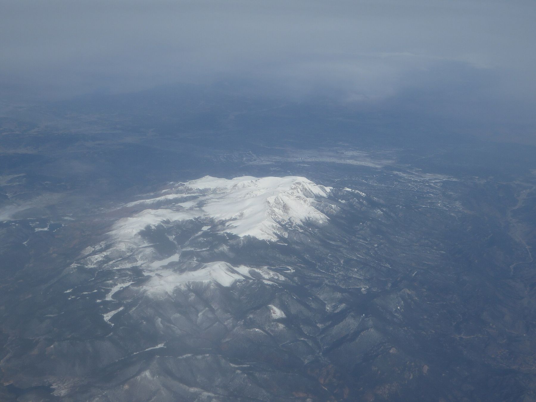
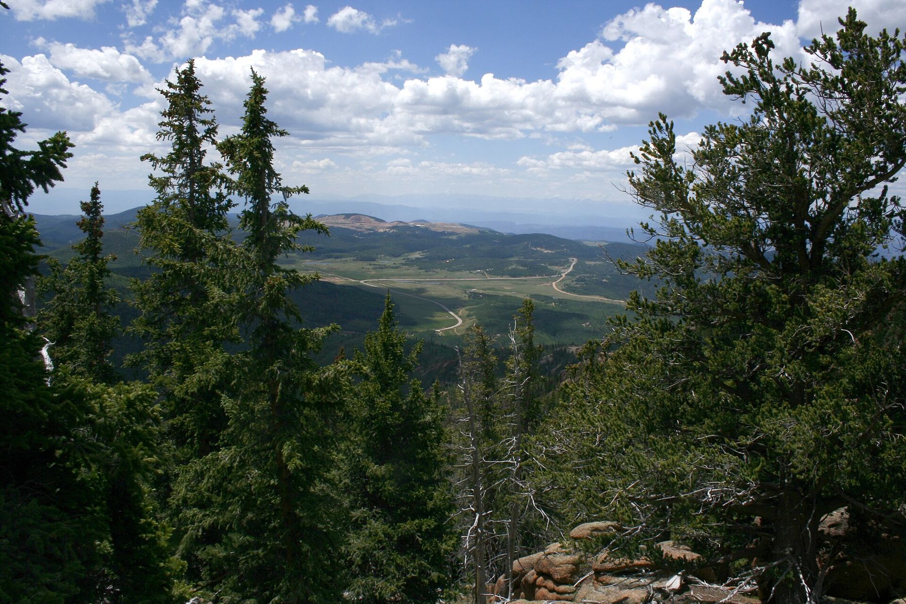
The summit of Pikes Peak is a broad, rocky top at 14,115 feet, the highest point of the mountain that looms over Manitou Springs and Colorado Springs. On a clear day the view runs east over the plains and west across range after range of the Rockies. People reach it by the cog railway, by the highway or on foot, and almost everyone arrives a little breathless.
It is a place with a strong sense of history and a strong sense of weather. Both are worth understanding before you go.
The view that became a song
In the summer of 1893, Katharine Lee Bates, a professor from Massachusetts teaching in Colorado Springs, joined a trip to the top of Pikes Peak. The view from the summit moved her to write the poem that later became "America the Beautiful," with its spacious skies and purple mountain majesties. A plaque at the summit marks the connection.
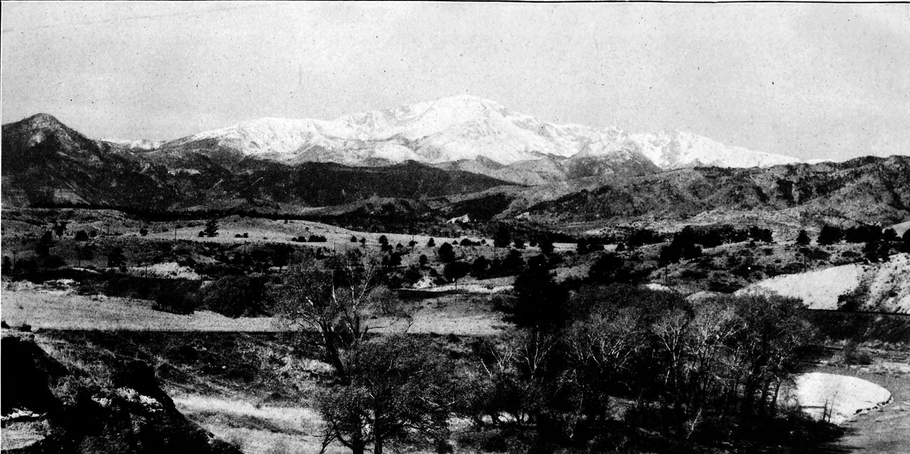
The peak's history reaches back much further. The Ute people knew the mountain long before any European visitors, and it was a landmark for travelers across the plains. Zebulon Pike saw it in 1806 but did not reach the top, and the first recorded climb came in 1820. By the late nineteenth century it was one of the best-known mountains in the country, and the slogan "Pikes Peak or Bust" had become part of the gold rush years.
A visitor center built for the weather
The summit visitor center opened in 2021, replacing the older summit house. Built to cope with fierce wind, cold and snow, it offers shelter, restrooms, food and exhibits about the mountain, and its windows frame the view on days when the weather outside is too harsh to linger.
The cog railway and the highway both end near the visitor center, so the summit can be busy in midsummer. Hikers coming up the Barr Trail reach it after many hours on foot and often appreciate the indoor seating more than anyone else.
What thin air does to you
At 14,115 feet, each breath contains far less oxygen than at sea level. Most people feel the difference at once: faster breathing, a quicker pulse and a heaviness in the legs on even a short walk. That is normal.
Stairs and even talking can feel like more work than usual. Children may get cranky or tired, and some adults find their judgment a little slower than they expect. None of this is a reason to stay away, but it is a reason to keep the summit visit unhurried and to plan any big physical effort for lower ground.
6,400 feetAnother stop on the mapWalking the mineral springs of ManitouAltitude sickness is the next step, and it is common among visitors who arrive by train or car, because they skip the slow adjustment a hiker gets on the way up. Headache, nausea, dizziness, unusual tiredness and shortness of breath at rest are the classic signs. If they appear, rest, drink water and plan to go down. Descending is the most reliable cure, and symptoms usually ease quickly as you lose height.
Confusion, stumbling or severe breathlessness are serious and need descent at once and medical attention. Anyone with heart or lung conditions, and pregnant visitors, should talk to a doctor before going to 14,000 feet.
Storm clocks over the peak
The summit has its own climate. It can be 30 or 40 degrees colder than in Manitou Springs, with strong wind that makes it feel colder still. Snow can fall in any month, and summer afternoons often bring thunderstorms with lightning, hail and poor visibility.
The bright sun adds to the challenge. With less atmosphere overhead, sunburn comes quickly even on a cold day, and snow fields reflect light up from below. Sunglasses matter as much as a warm hat.
Plan to be at the top in the morning. Watch the sky to the west, and if clouds start towering and darkening, head inside or down. Lightning is a real danger on an exposed summit, and getting off the high ground by early afternoon is the habit that keeps hikers and visitors safe.
Getting up and getting down
Three routes reach the top. The cog railway from Ruxton Avenue climbs through a canyon and above tree line with no effort required. The Pikes Peak Highway lets you drive, with timed entry in busy months. Barr Trail is the long hike from Manitou Springs, about 13 miles one way.
Each has its own season, schedule and rules, which change from year to year, so check the current details before you go. Hikers planning to ride down should arrange it in advance.
Many visitors combine routes: the train up and a hike partway down, or a drive to the top paired with a later day on the lower trail. However you arrive, give yourself a slow morning in Manitou Springs first, with a cup from the mineral fountains, and the climb will feel less abrupt.
Making the most of a short stay
- Bring a warm jacket, hat and gloves even in summer.
- Wear sunglasses and sunscreen; the sun is intense at this height.
- Walk slowly between the viewpoints and the visitor center.
- Drink water and eat something light.
- Read the guide to altitude and afternoon storms before a full day on the mountain.
Most visitors spend less than an hour on top, and that is usually enough. The view, the history and the thin, bright air make a strong impression in a short time, and the trip back down toward the springs and the warmer valley feels well earned.
The pictures on this page were shared under open licences; see who took them.