The climb
From the Incline to the summit of Pikes Peak: on foot, by the cog railway or by road. Lowest first, highest last.
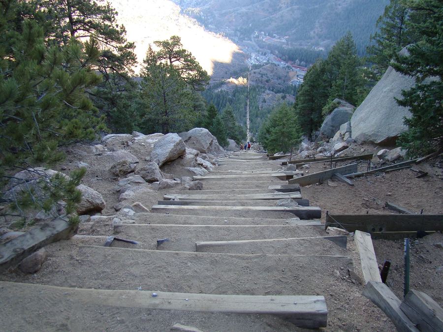
The Manitou Incline, step by step
Under a mile long and about 2,000 feet high, the old railway bed above Ruxton Avenue is one of the steepest public climbs in the country, and the way down is a trail.
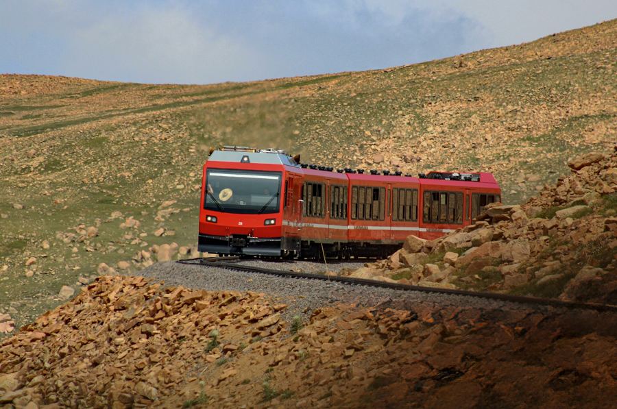
Pikes Peak by the cog railway
A toothed rail, a steep canyon and a climb of about 7,500 feet: the Pikes Peak cog railway leaves Ruxton Avenue and rides above the trees to the top of the mountain.
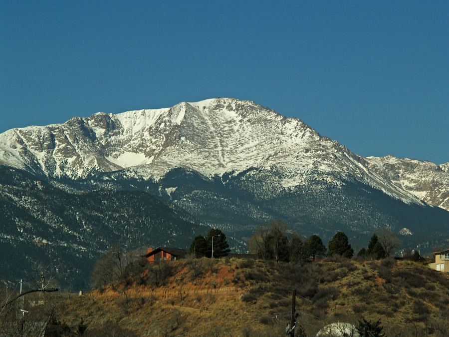
Barr Trail to Barr Camp and beyond
Thirteen miles and more than 7,000 feet of climbing separate Ruxton Avenue from the top of Pikes Peak. Barr Trail covers them with switchbacks, forest, a halfway camp and a long finish above the trees.
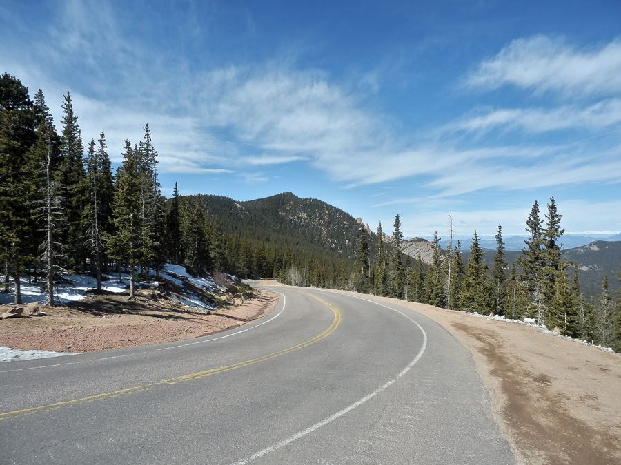
Driving the Pikes Peak Highway
From the gate near Cascade, the Pikes Peak Highway winds about 19 miles through forest, past reservoirs and up across bare tundra to the summit of the mountain.
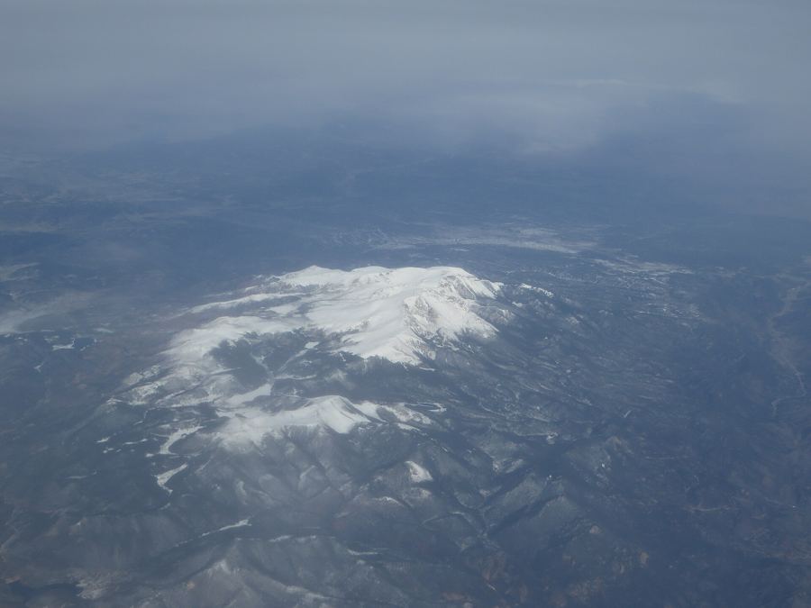
At the summit: thin air and America the Beautiful
At 14,115 feet, the top of Pikes Peak offers a view that inspired a national song, a new visitor center, and air thin enough to make every step count.