Towns below the peak · Pikes Peak region
Altitude, afternoon storms and how to plan a day
From the springs at 6,400 feet to the summit at 14,115, the air thins and the weather turns faster than visitors expect. Start early, drink often and watch the sky.
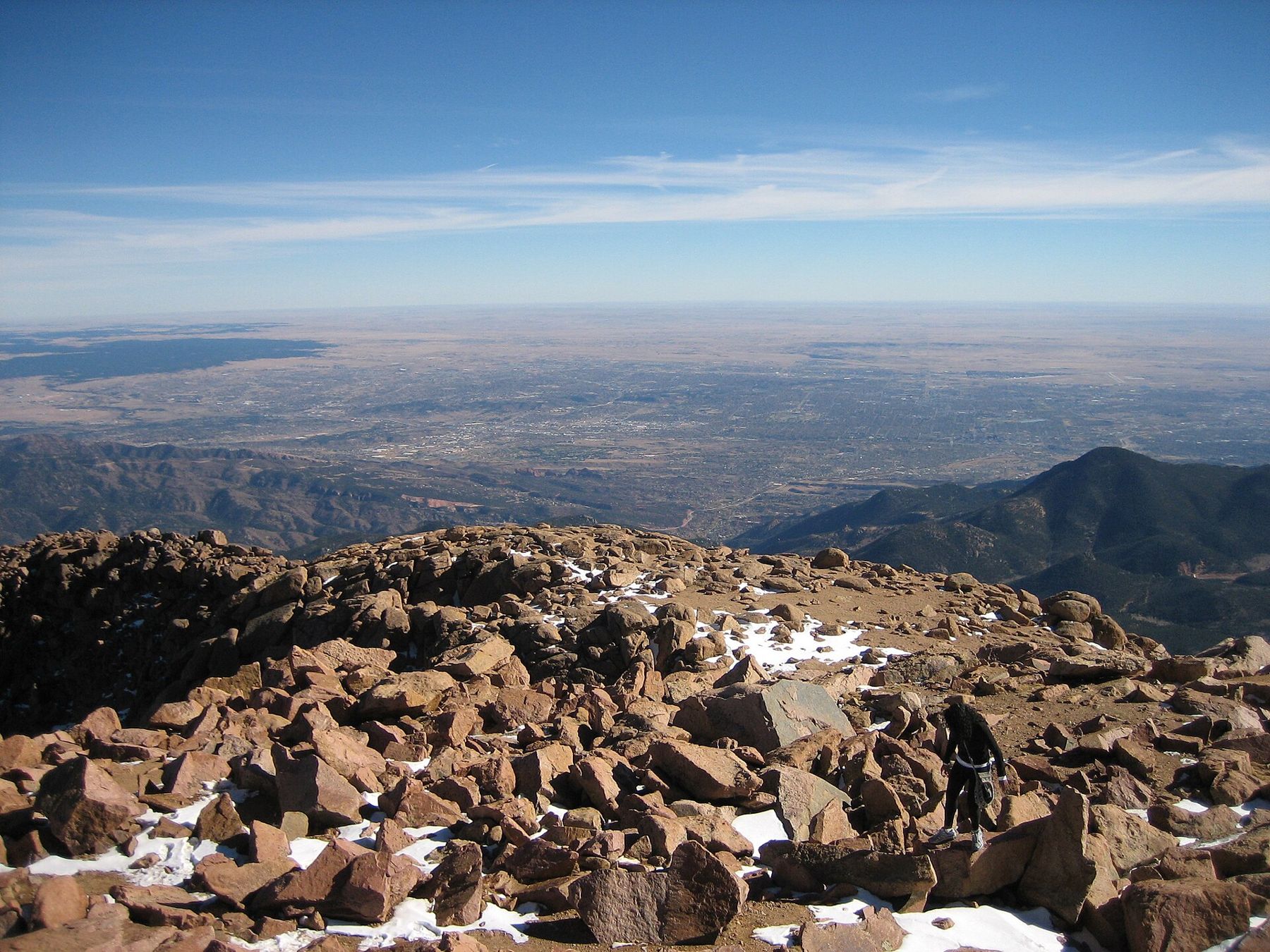
Manitou Springs sits at about 6,400 feet. The top of Pikes Peak is 14,115 feet, less than ten miles away as the raven flies. Between the two lies nearly 8,000 feet of climb, and in a single day you can go from a warm street lined with mineral fountains to a windswept summit where snow can fall in July. Planning a day here comes down to two things: how your body copes with thin air, and what the sky is likely to do after lunch.
Neither should keep you off the mountain. Both are reasons to start early, carry more than you think you need, and keep a plan for turning round.
A mile up before you lace your boots
Even in town, the air holds noticeably less oxygen than at sea level. Most visitors feel it first on stairs or a short uphill walk: a quicker pulse, heavier breathing, a mild headache by evening. At the summit of Pikes Peak, each breath carries roughly 40 percent less oxygen than at the coast, and almost everyone notices.
Altitude sickness is common and usually mild. The signs are a headache, nausea, dizziness, unusual tiredness, poor sleep and a loss of appetite. They tend to appear several hours after arriving high, not the moment you step out of the car. The fix is simple: rest, drink water, and if it gets worse, go down. Even a drop of a couple of thousand feet often helps quickly.
A few warning signs mean you should descend at once and get medical help: confusion, stumbling or trouble walking in a straight line, a wet cough, or breathlessness that does not settle when you rest. These are rare but serious, and they get worse with height, not better.
Ease in from the springs upward
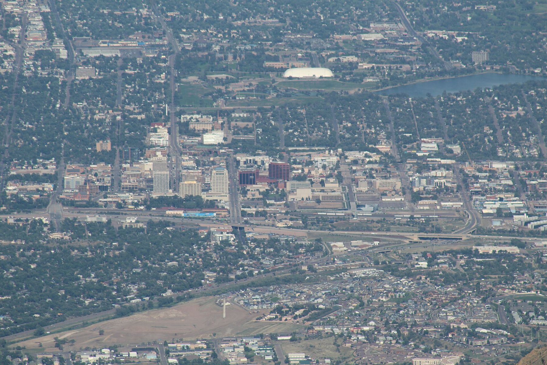
The kindest way to handle altitude is to take it in steps. Spend your first day low, walking between the mineral springs in Manitou or wandering the red rock at Garden of the Gods. Save the big efforts, like the Incline or a long day on Barr Trail, for the second or third day, once your body has had a night or two to adjust.
If you are going to the summit by car or by the cog railway, the climb is fast and the effort small, but the height is the same. Move slowly at the top, sit down if you feel light-headed, and do not plan a strenuous walk up there. People with heart or lung conditions, and anyone who is pregnant, should ask their doctor before heading to 14,000 feet.
Water, sun and the thin-air arithmetic
Dry mountain air pulls water out of you with every breath, and you lose more of it at altitude without noticing much sweat. Drink steadily through the day rather than in big gulps when you feel thirsty. Alcohol hits harder up here, and it makes altitude symptoms worse, so the evening drink is best kept for the evening.
The sun is stronger too. With less atmosphere overhead, ultraviolet light is more intense, and snow or pale rock reflects it back up at you. Sunburn arrives quickly even on cool or cloudy days. Sunscreen, sunglasses and a hat belong in the pack in every season.
Temperature drops with height as well. As a rough guide, the summit is often 25 to 30 degrees Fahrenheit colder than town, before the wind is counted. A warm July afternoon in Manitou can mean near-freezing gusts at the top. Carry a warm layer and a windproof shell even when it feels foolish at the trailhead.
14,115 feetAnother stop on the mapAt the summit: thin air and America the BeautifulLightning by early afternoon
From roughly late June into August, the Pikes Peak region follows a pattern. Mornings dawn clear and calm. By late morning, puffy clouds start to build over the mountains. By early afternoon, many days bring thunderstorms with lightning, hail, heavy rain and a sudden chill. They often clear by evening, but in the middle of the day they own the high ground.
Lightning is the real hazard above tree line, where you are the tallest thing around. The local rule is simple: be off the summit and the exposed ridges, heading down, by noon. On a long hike like Barr Trail, that means starting before dawn. If you hear thunder, you are close enough to be struck; get off peaks and ridges, avoid lone trees and metal railings, and keep moving down. A car or a solid building is real shelter; a tent or a rock overhang is not.
Hail can pile up like snow in minutes, and heavy rain turns trails into streams. Down in the canyons, a storm higher up can send a flash flood through with little warning. Manitou knows this well: after the 2012 Waldo Canyon fire stripped the slopes above town, floods poured down its creeks for several summers.
Snow in any month at the top
Summer is the easy season on the peak, but easy is relative. Snow can fall at the summit in any month, and a storm in June or September can coat the upper mountain overnight. The Pikes Peak Highway and the cog railway may stop short of the top when the weather turns, and the upper trail can ice over. In winter, the upper mountain is a serious place, and only properly equipped and experienced hikers should go high.
The lower trails stay friendlier. Red rock parks and the canyons near town are often walkable through winter on dry days, though shaded stretches can hold ice for weeks.
A day shaped around the sky
Put the high and exposed part of the day first: the summit, the Incline or the upper trail by mid-morning, then head down as the clouds build. Spend the afternoon lower, in a museum, a canyon or a café-lined street, and save the evening for an easy stroll between fountains.
Check the mountain forecast the night before and again in the morning, carry water, food, a warm layer and a rain shell, and tell someone your plan. If the sky darkens early or your head starts to pound, turn round. The peak will still be there tomorrow.
The pictures on this page were shared under open licences; see who took them.