The climb · Pikes Peak
Barr Trail to Barr Camp and beyond
Thirteen miles and more than 7,000 feet of climbing separate Ruxton Avenue from the top of Pikes Peak. Barr Trail covers them with switchbacks, forest, a halfway camp and a long finish above the trees.
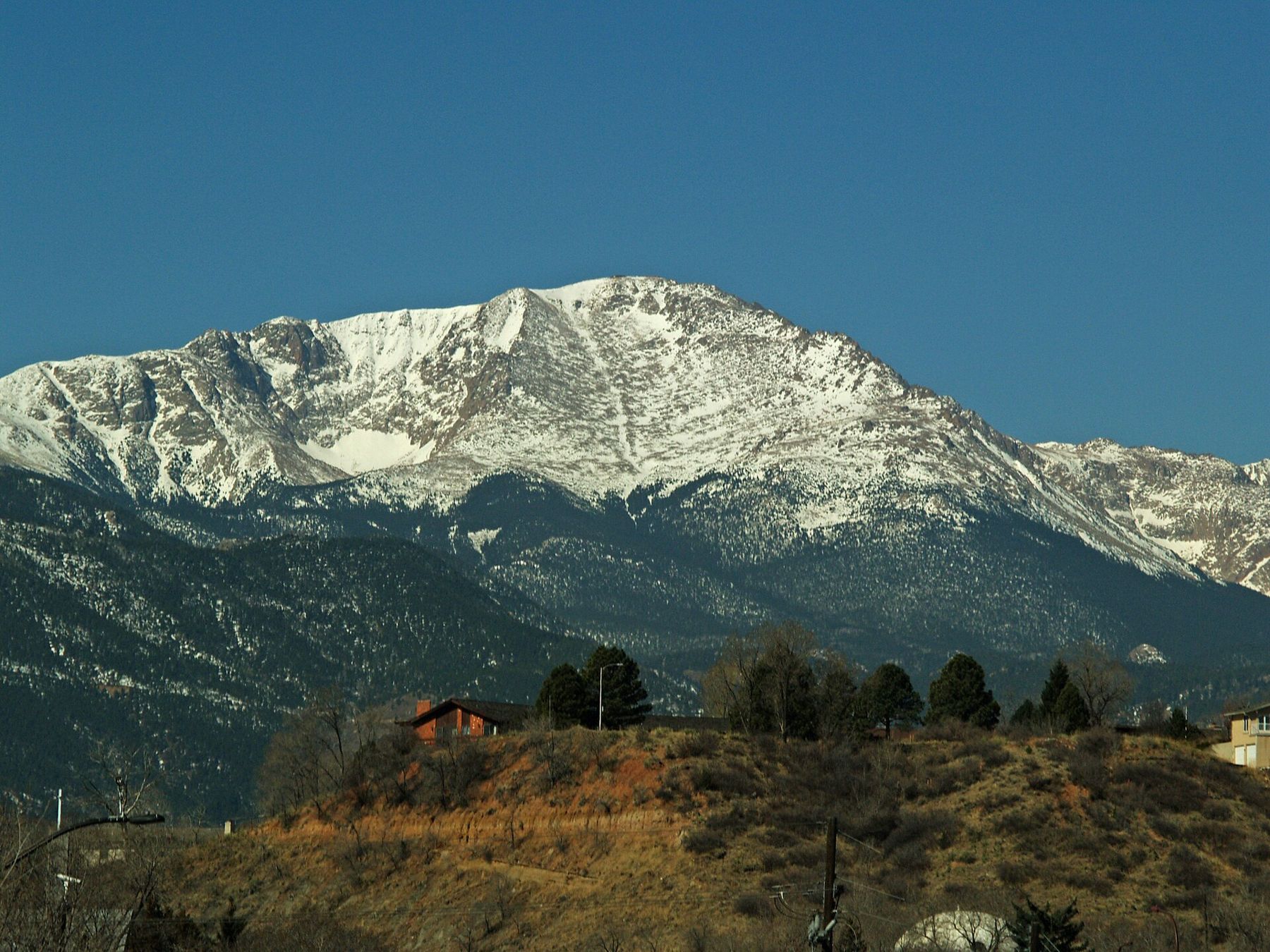
Barr Trail is the long way up Pikes Peak, and for many people it is the only way that counts. It starts near the top of Ruxton Avenue in Manitou Springs, a short walk from the town's mineral fountains, and climbs about 13 miles and more than 7,000 feet to the summit at 14,115 feet. Along the way it passes through scrub oak, ponderosa pine, dense spruce and fir, and finally the open, rocky ground above the trees.
You do not have to go all the way. Barr Camp, roughly halfway, is a worthy goal on its own, and many hikers treat the lower trail as a hard day out and back. But the full climb is one of the classic mountain hikes in the country, and it rewards careful planning.
Switchbacks, forest and a trail built by hand
The trail takes its name from Fred Barr, who built much of it in the years around the First World War, working largely by hand and with pack animals. It has been rerouted and repaired many times since, but the basic line remains: a steady, relentless climb along the east face of the mountain.
The first few miles are the steepest part for many people. Tight switchbacks climb out of the canyon above Manitou Springs, and the town drops away quickly below you. The Manitou Incline climbs the same slope nearby, and a short connector links its top to Barr Trail, which is how many Incline hikers walk back down.
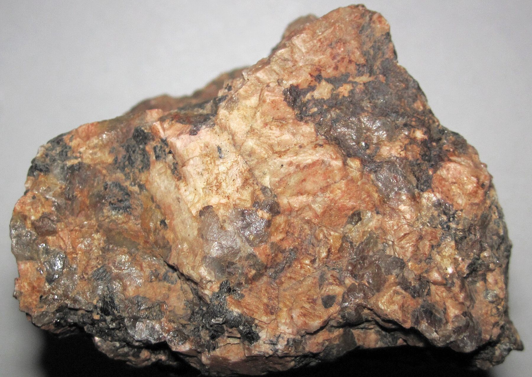
Above the switchbacks the grade eases into long traverses through pine forest. The ground underfoot changes, too: crumbly pink granite, coarse and grainy, that wears into gravel on the trail. It is the same Pikes Peak granite that feeds the springs in town, as rain and snowmelt sink into its cracks and travel down through the rock.
Barr Camp, the halfway house
About halfway up, at roughly 10,000 feet, Barr Camp sits in a clearing in the forest. It is a rustic backcountry camp with simple bunk space and tent sites, run by caretakers, and it has served hikers on the mountain for generations. Overnight stays need to be reserved ahead; check what is available and what you need to carry.
Splitting the climb with a night at Barr Camp makes the summit far more manageable. You hike the lower half in the afternoon, sleep partway up, and give your body a night to adjust to the altitude before starting the second half early the next morning. It also puts you on the upper mountain at the safest time of day.
For a day hike, Barr Camp itself is a solid destination: a long, steep walk with real mountain air at the end and the whole of the descent ahead of you.
The forest around the camp is quiet and cool even in midsummer, and streams run close by. Treat any water you collect along the trail, since natural sources on the mountain are not tested the way the public fountains in town are. Many hikers carry enough to reach the camp and refill there only with a filter or treatment.
Up to 14,115 feetAnother stop on the mapDriving the Pikes Peak HighwayAbove the trees, into the weather
Beyond Barr Camp the forest thins, and around 11,500 to 12,000 feet you reach tree line. From here on there is no cover. The trail switchbacks up open slopes of broken granite, and the final stretch below the summit climbs a long series of tight turns known as the Golden Stairs, where the air is thin and every step feels slower than the last.
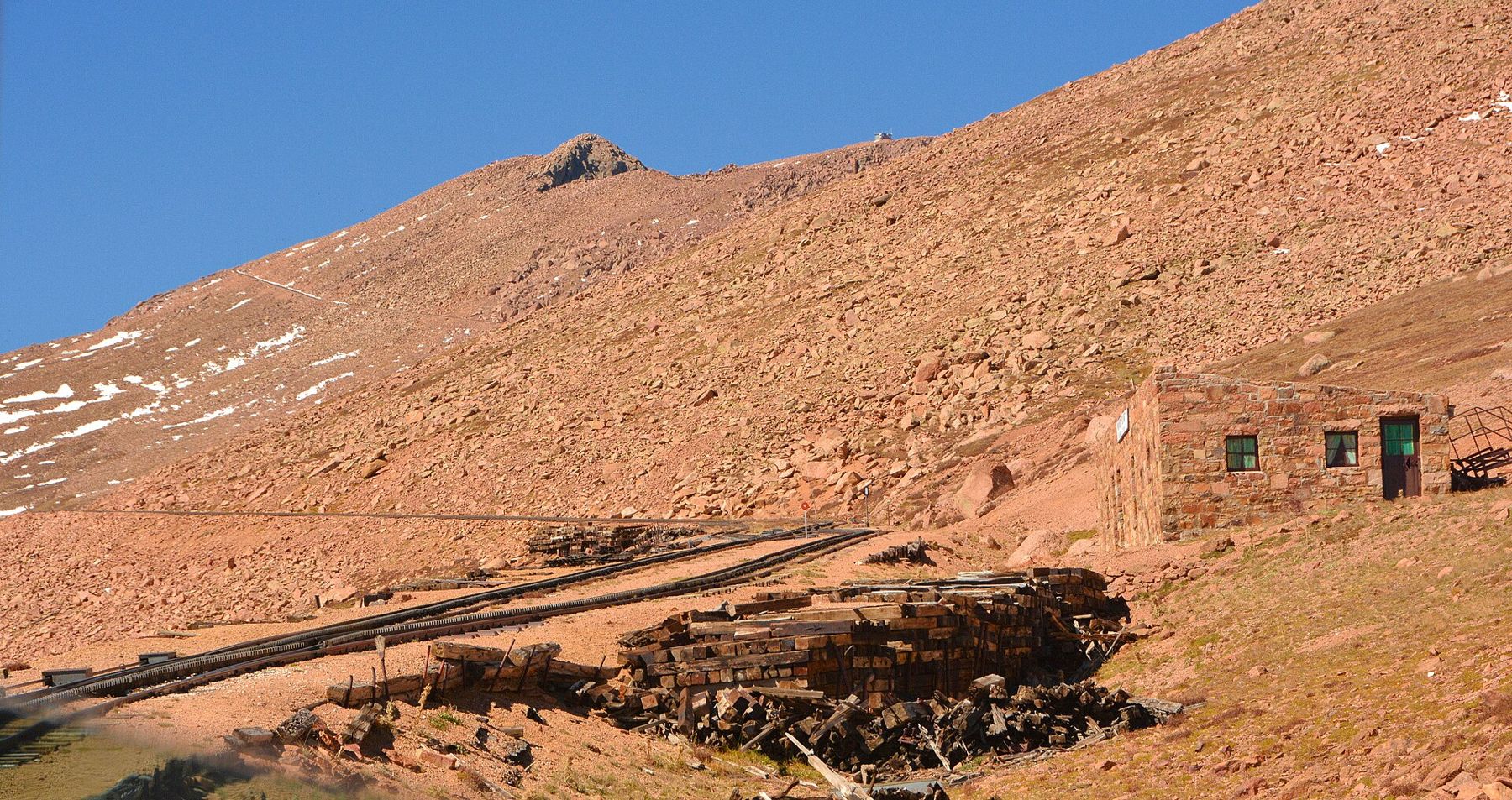
This is where the mountain's weather matters most. In summer, clouds build over the peak most afternoons, and thunderstorms can arrive fast, with lightning, hail and sharp drops in temperature. Above tree line you are the highest thing around. The rule that serves hikers here is simple: reach the summit early and be off the upper mountain by noon, or turn around.
Above tree line you are the highest thing around.
Snow can linger on the upper trail well into early summer and can return in September or even in summer storms. Check recent trail conditions before you go, and carry warm layers, a rain shell and gloves even on a hot day in town. Read the site's guide to altitude and afternoon storms before planning a big day.
Going one way: getting back down
Thirteen miles up is a big day; thirteen miles down as well is too much for most people. That is why many summit hikers plan a one-way trip and arrange a ride down from the top.
- A driver on the highway. Someone can drive the Pikes Peak Highway to meet you at the summit. In busy months the highway uses timed entry, so a pickup needs a reservation and a realistic estimate of your arrival.
- The cog railway. The cog railway runs between Ruxton Avenue and the summit. Ask in advance whether it offers one-way seats down for hikers, how they are sold and what happens if you are late.
- Walking back. Strong, well-acclimatized hikers do make the round trip in a day, but it takes most of the daylight and a lot of water.
Whatever you choose, plan it before you start and have a fallback. Summit services, transport options and their rules change, so check them close to your hiking date. At the top, the summit visitor center offers shelter, water and a place to wait out a passing squall.
Reading your body on the climb
Altitude affects everyone differently, and fitness at sea level is no guarantee. Headache, nausea, unusual tiredness, dizziness and shortness of breath at rest are warning signs. The fix is to stop climbing and, if symptoms worsen, go down. Confusion or stumbling is a serious sign that needs descent at once.
The descent brings its own problems. Tired legs on loose granite gravel lead to slips, and knees take a beating over thousands of feet of downhill. Trekking poles help, and so does slowing down on the steep switchbacks near the bottom, where many falls happen at the end of a long day.
Arriving in Colorado a day or two before the hike, sleeping at Barr Camp and drinking steadily all day all help. So does eating, even when you do not feel hungry. Start in the dark with a headlamp, set a turnaround time, and keep to it. The mountain will still be there for another attempt.
Parking at the trailhead is limited and managed, and shuttles may run in busy months. Check current parking rules and any fees before you go, and consider walking up from central Manitou Springs, past the mineral fountains, as the very first part of the climb.
The pictures on this page were shared under open licences; see who took them.