The springs · Manitou Springs
Up Ruxton Avenue to the Iron Geyser
Ruxton Avenue climbs from the middle of Manitou Springs toward the mountain, past fountains, old houses and a castle, to a spring with the strongest taste in town.
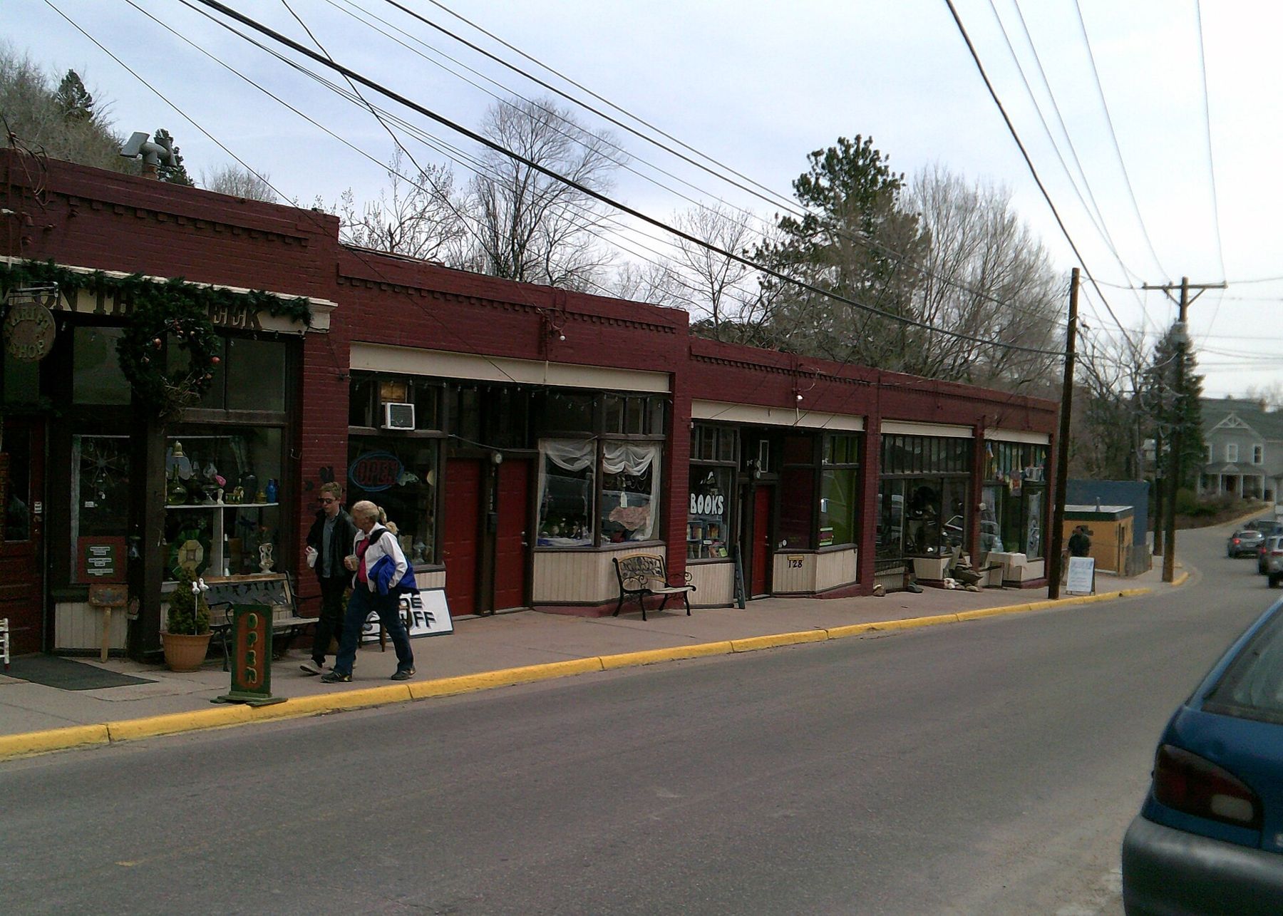
Ruxton Avenue leaves Manitou Avenue in the middle of town and heads straight for the mountain. It follows Ruxton Creek up a narrowing valley, past small shops, old houses, mineral fountains and the turnoff for a castle, and it ends near the depot for the cog railway and the trailheads that climb Pikes Peak. Along the way sits the Iron Geyser, the spring with the boldest flavor in Manitou Springs.
The walk is short, steady and uphill. It works as a stroll on its own, as an extension of the downtown springs, or as the first leg of a much bigger day on the mountain.
Where the street starts to climb
The corner where Ruxton Avenue leaves Manitou Avenue is the turning point between the town's flat main street and its mountain side. Within a block the grade picks up, the valley narrows and the sound of the creek follows you along the road.

Ruxton is a working street, not a promenade. Sidewalks come and go, traffic heads up to the depot and trailheads, and in busy months parking along it is restricted. Walking from downtown is the easiest approach, and it lets you stop at the fountains without worrying about the car.
Look at the creek as you go. Ruxton Creek drains the slopes of Pikes Peak above town, and after storms or during spring snowmelt it runs fast and brown. The same mountain that feeds the creek on the surface feeds the springs underground, on a much slower clock.
A taste of iron
The Iron Geyser is easy to recognise by the rusty stains around it. Its water carries a heavy load of iron, and the first sip is unmistakable: a strong metallic, almost blood-like taste with plenty of fizz behind it. Some people love it; many take one sip and move on. Either reaction is fair.
Iron water also stains anything it touches, so keep it off light clothing and rinse your cup soon after.
The name comes from its behaviour. Rather than flowing at an even rate, the Iron Geyser tends to surge, building up and then spurting before settling again, as gas and water rise together from below. Stand and watch for a while and you may see it pulse.
Like the other public fountains, it is fed by water that fell as rain and snow on Pikes Peak, seeped down through granite and picked up carbon dioxide and minerals in the limestone beneath the town. The walk around the mineral springs downtown explains the process and the gentler springs that make a good contrast.
About 6,500 feetAnother stop on the mapWilliams Canyon and the cave countryOther springs on the Ruxton side
The Iron Geyser is not alone. Twin Spring and Shoshone Spring are also on this side of town, and Stratton Spring is another name on the town's list of public fountains. Spring names and locations can be confusing, because some fountains are piped from nearby sources and a few have been rebuilt or moved over time, so a current spring map from town is the best guide to which fountains are where and which are flowing.
Taste them side by side if you can. The differences between springs only a short walk apart are part of what makes Manitou water interesting.
- Carry a small cup so you can sample without filling a bottle.
- Try the milder springs first and the iron water last.
- Drink plain water too; mineral water does not replace it at altitude.
A castle above the street
Partway up Ruxton, look uphill and you will see towers and gables on the slope: Miramont Castle, built in 1895 for a French priest and now a museum. A steep side street leads up to it in a few minutes. Even if you do not go inside, the climb gives you a view back over Ruxton Avenue and the rooftops of town.
The houses along this stretch are worth a look as well. Many date from the decades when Manitou Springs was a health resort, with porches, steep roofs and small gardens squeezed onto the hillside.
Toward the trailheads and the train
Above the springs, Ruxton Avenue keeps climbing toward the foot of the mountain. Near the top of the street are the base of the Manitou Incline, the start of Barr Trail and the depot for the Pikes Peak cog railway. On a busy summer morning this upper end fills with hikers and passengers heading for the peak.
Parking near the top is limited and managed, and shuttles may run in busy months. Rules, fees and schedules change, so check the current arrangements before you go. Walking up from downtown, with stops at the fountains, often turns out to be the quickest way to the start anyway.
Pacing a walk that only goes up
Manitou Springs sits around 6,400 feet, and Ruxton Avenue climbs from there. The grade is not severe, but it is steady, and visitors fresh from sea level often feel it. Walk at a pace that lets you talk, stop at the fountains to rest, and carry plain water.
Summer afternoons often bring thunderstorms that build over the mountain and roll down the valley. They usually pass within an hour, but they can bring heavy rain and lightning. A morning walk avoids the worst of it and catches the street at its quietest.
On the way back down, the walk is easy and the views open toward the red hills on the far side of the valley. Stop at the Iron Geyser again if the first taste did not convince you; some people find the second sip goes down better than the first.
The pictures on this page were shared under open licences; see who took them.