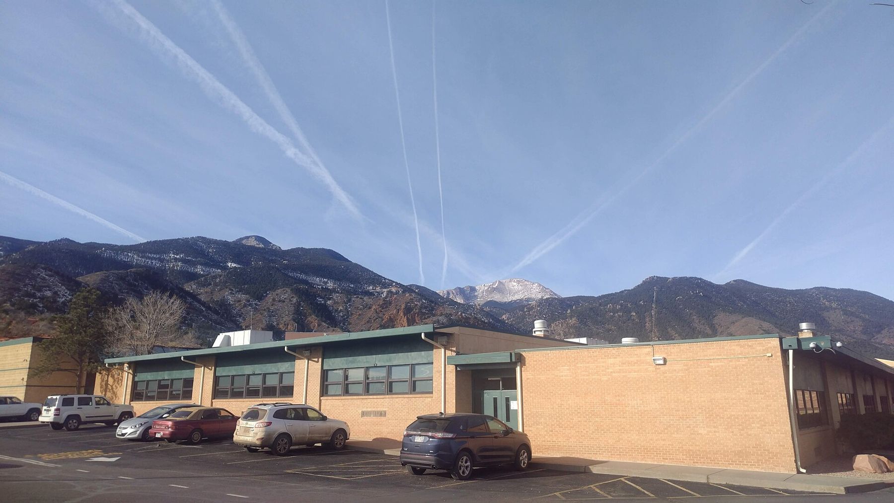
The springs · Manitou Springs
Walking the mineral springs of Manitou
Rain on Pikes Peak granite, a long trip through limestone and a fizz that arrives at street level: a fountain-by-fountain walk through a town built around its water.
Manitou Springs is a town that grew up around water. Long before streets were laid out, the bubbling springs at the foot of Pikes Peak drew people from far across the plains and mountains, and the town that followed still keeps a string of public fountains where anyone can fill a cup. The walk between them is short, mostly flat and free, and it is the best way to understand why the place exists at all.
Each fountain draws from a different spring, and each tastes different. Some are mild and lightly sparkling. Others carry a sharp iron edge or a faint whiff of sulphur. Tasting them in a row is less like a museum visit and more like a slow conversation with the mountain above you.
Rain on granite, fizz in the cup
The story starts high up. Rain and snowmelt fall on Pikes Peak, soak into cracks in its pink granite and begin a slow trip underground. On the way down, the water reaches layers of limestone beneath the town. Carbon dioxide picks up there and dissolves into the water under pressure, and that gas helps the water pull minerals out of the rock: calcium, sodium, bicarbonate and, in some springs, a good deal of iron.
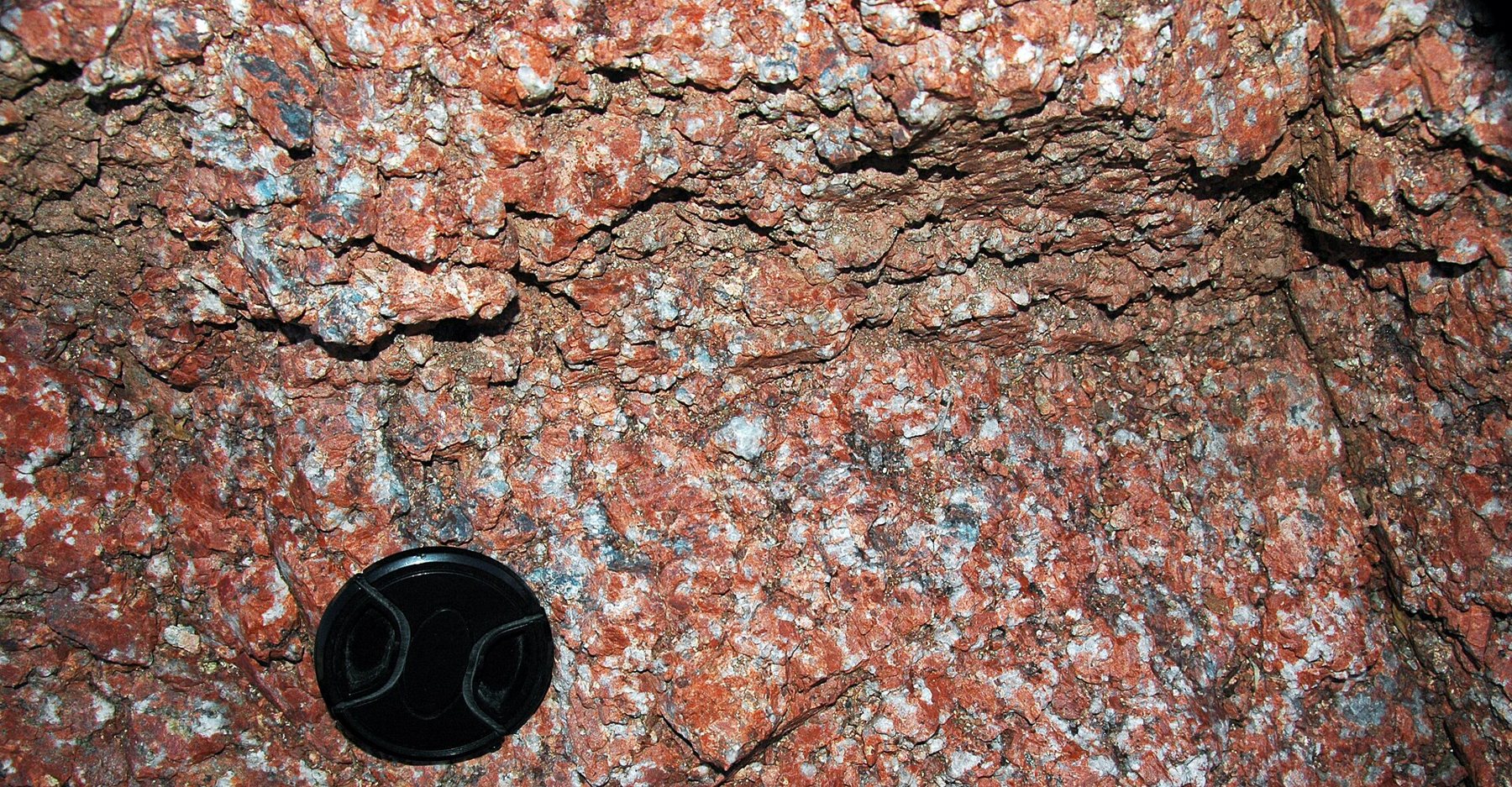
When the water finally rises at a fountain, the pressure drops and the dissolved gas comes out as bubbles. That is why the springs are naturally carbonated, not pumped full of fizz. The same process explains why no two taste alike: each spring follows its own path through the rock, spends a different length of time underground and picks up its own mix of minerals.
It also explains the stains. Around the iron-heavy fountains you will see orange and rust-red crusts on stone and metal, the mark of iron settling out as the water meets the air.
A loop of fountains along Manitou Avenue
Most of the downtown fountains sit within a few blocks of each other along Manitou Avenue and the short side streets around it. Start near the middle of town and work outward; you can see most of them in an hour, or stretch it into a slow morning with stops on the benches by Fountain Creek.
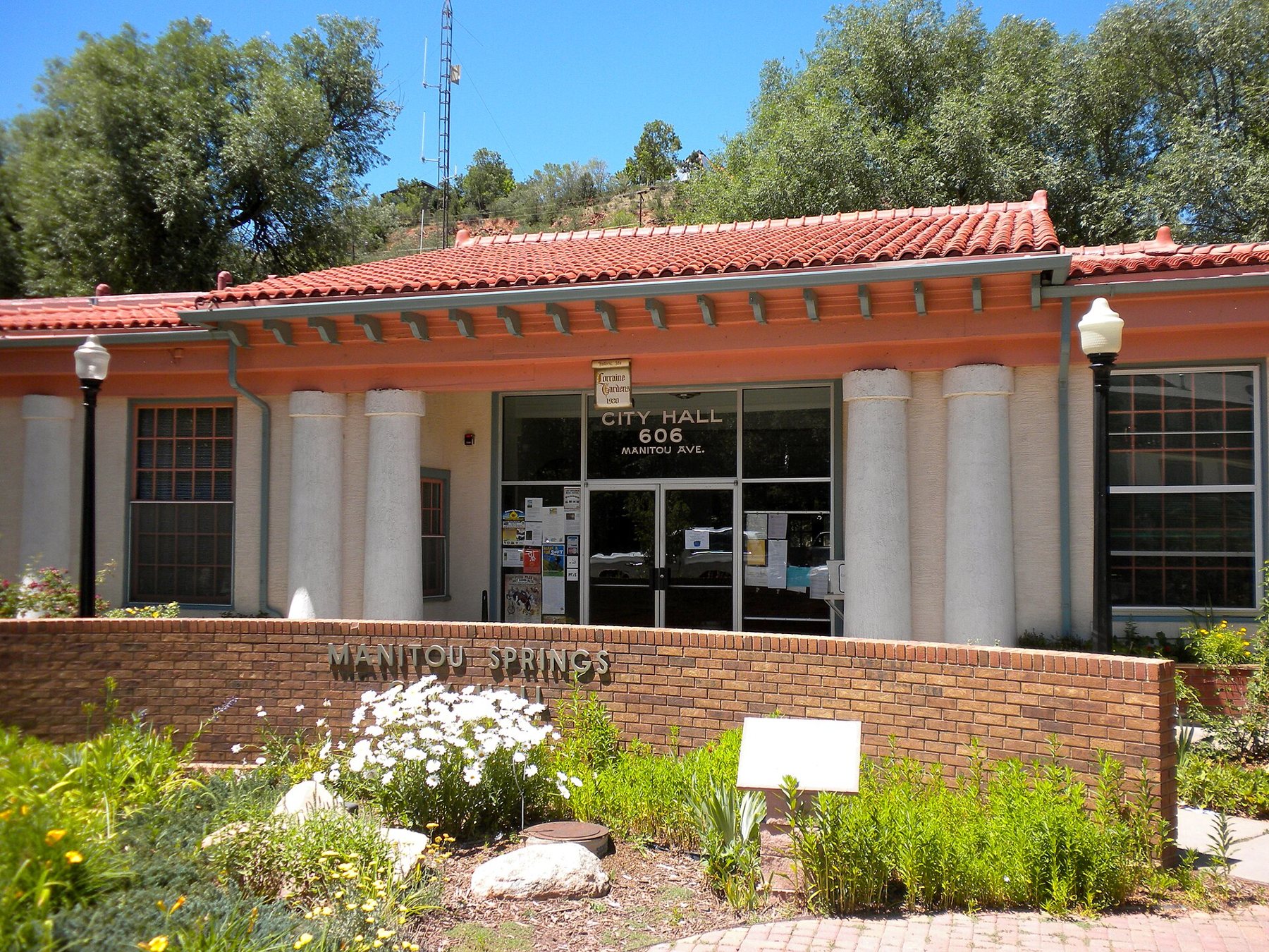
Navajo Spring and Cheyenne Spring are among the downtown names, and Seven Minute Spring and Wheeler Spring belong to the same family of public fountains. Spring names can be confusing, because some fountains are piped from springs a short distance away, and a few have been moved or rebuilt over the years. The simplest approach is to pick up a current spring map in town, which also tells you which fountains are flowing; a fountain can be dry for repairs or a seasonal shutoff.
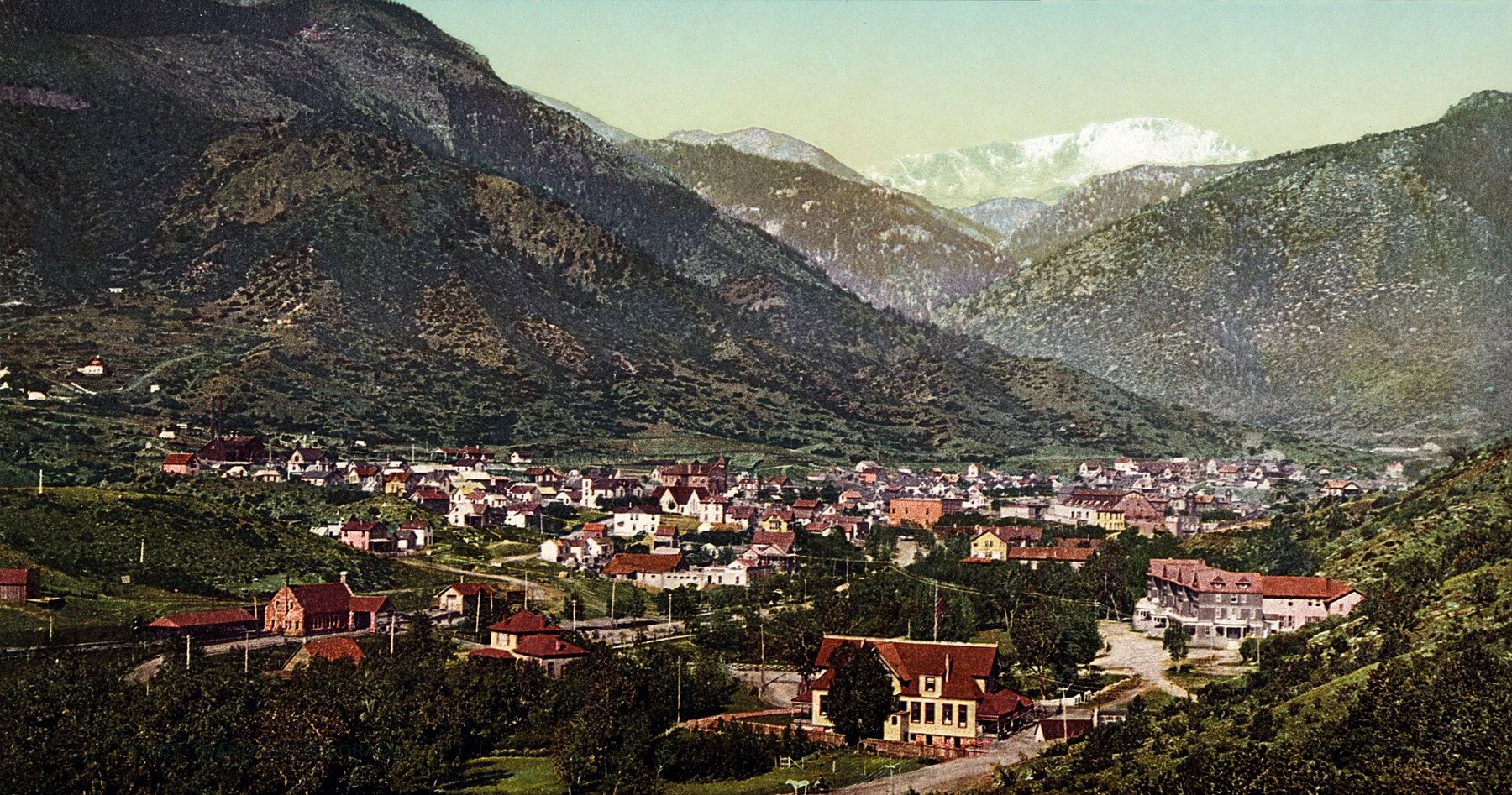
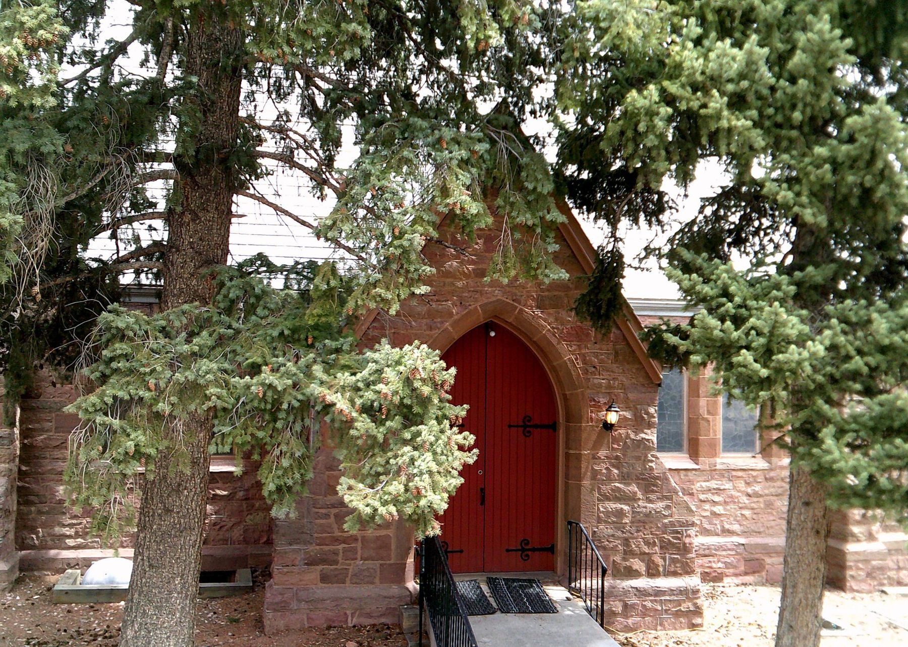
The town's historic district gives the walk its setting. Red sandstone churches, brick commercial blocks and wooden houses climb the hillsides, and many of them date from the decades when people came here to take the waters for their health.
Ruxton Avenue and the uphill springs
Where Manitou Avenue meets Ruxton Avenue, the walk tilts uphill. Ruxton follows a creek of the same name toward the base of the mountain, and it holds some of the most distinctive water in town. Twin Spring and Shoshone Spring are along this side of town, and farther up the street the Iron Geyser lives up to its name with a strong metallic taste and a habit of surging rather than flowing evenly.
The walk up Ruxton Avenue to the Iron Geyser is gentle but steady, and it makes a natural add-on to the downtown loop. Along the way you pass the turn for Miramont Castle on the hillside, which is worth the extra climb if you have time.
About 6,500 feetAnother stop on the mapUp Ruxton Avenue to the Iron GeyserAbove the springs, Ruxton Avenue continues toward the trailheads and the cog railway depot. It is easy to begin a day at the fountains and end it on the mountain, though most people find one or the other is enough for a single day at this altitude.
How to taste like a regular
A small cup is the one piece of kit that matters. A collapsible cup or a short glass lets you take a few sips at each fountain without committing to a full bottle of something you may not like. Some people carry a refillable bottle for the springs they enjoy most and drink it later in the day.
- Start mild. Sample the gentler springs first and save the strongest iron water for last, so your palate is not flattened early.
- Drink it cold and fresh. The fizz fades quickly once the water sits, and the flavor changes as it warms.
- Let the fountain run for a moment before filling, then sip rather than gulp.
- Pace yourself. Mineral water is not a substitute for plain water at altitude, and a few cups of strong spring water can be a lot for some stomachs.
The public fountains are maintained for drinking, but they are still natural water with real mineral content. If you are on a low-sodium diet or have a medical condition that limits minerals, sample in small amounts. Fill only what you can drink, and leave the spouts clear for the next person in line.
Tasting them in a row is less like a museum visit and more like a slow conversation with the mountain above you.
Water with a long memory
For the Ute people, whose homelands spread across these mountains, the springs were a place of real significance, and other nations of the plains also knew the water and came to it. Accounts from the nineteenth century describe offerings left at the springs and a sense that the bubbling water was something given, not simply taken. That history is part of why the springs still feel like a shared place rather than an attraction.
The town itself was laid out in the early 1870s as a health resort, sold to visitors on the promise of clean mountain air and healing water. Bathhouses and bottling works followed, and Manitou water traveled far beyond Colorado. Later, many springs were capped, neglected or lost under buildings. Over recent decades a community effort brought a number of the public fountains back into use, which is why you can walk from one to the next today.
Seen that way, the walk is a small loop through a long history: water that fell as snow on the summit, traveled through stone for years and comes out in a cup in your hand. If you want to see where that snow falls, the view from the top of Pikes Peak completes the picture, and the limestone of Williams Canyon shows the rock the water passes through on its way down.
Check a current spring map before you go, since fountains are sometimes off for repairs, and plan the walk for a cool morning when the town is quiet and the water is at its liveliest.
The pictures on this page were shared under open licences; see who took them.